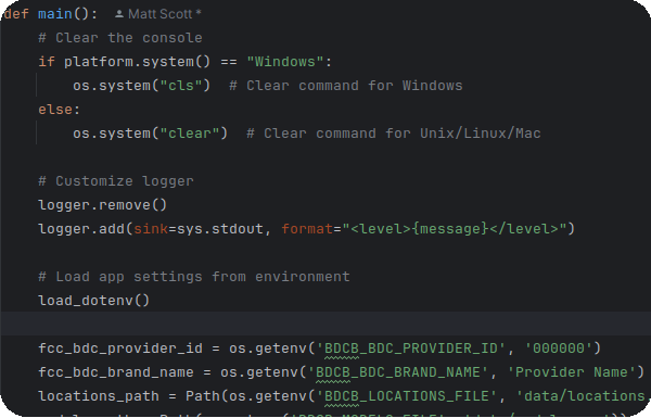
A simple approach to
This tool is a simplified approach to the process that was originally developed by Azorian Solutions, to offer BDC submission services.
While very simple in approach, a powerful set of features is packed under the hood!
The process is quite simple and likely one you're already quite familiar with (for the most part).
You export your coverage models in ESRI Shapefile format from your choice of modeling tool. The accuracy of results is entirely dependent upon your coverage models!
You export a list of service plans with speeds as well as a list of subscriptions referencing those service plans. Each subscription indicates what service plan is applied, the technology code of the connection, and the corresponding 2020 Census Tract Code.
This is likely the easiest step as you just need to download the latest location fabric provided to you under your license with CostQuest. It is crucial that you remember to update your license with CostQuest when you expand coverage into new areas!
Submissions Built
Happy clients
Cups of coffee
Sleep gained
Due to lack of demand, the product has been discontinued for the immediate future. It may one day return once FCC policy is stabilized.
Check out the list below if you have questions, as there are some common questions that come up.
Q: Does it matter what modeling tool you use?
A: Generally no, so long as you can ultimately create ESRI Shapefiles containing coverage polygons. The more accurate your coverage models, the more accurate your submission results will be.
Q: What data is required for service plans?
A: Not much, just a unique identifier for each service plan, as well as the associated download and upload speeds (in Mbps).
Q: What data is required for subscriptions?
A: Subscription data consists of a service plan reference, a subscription type (residential or business), an FCC technology code representing the service connection type, and a 2020 Census Tract code.
Q: What happens if the software needs updates or the FCC changes the process?
A: Simple. One year of support will be provided for minor updates and process changes by the FCC (assuming nothing drastic).